Wenslus Murape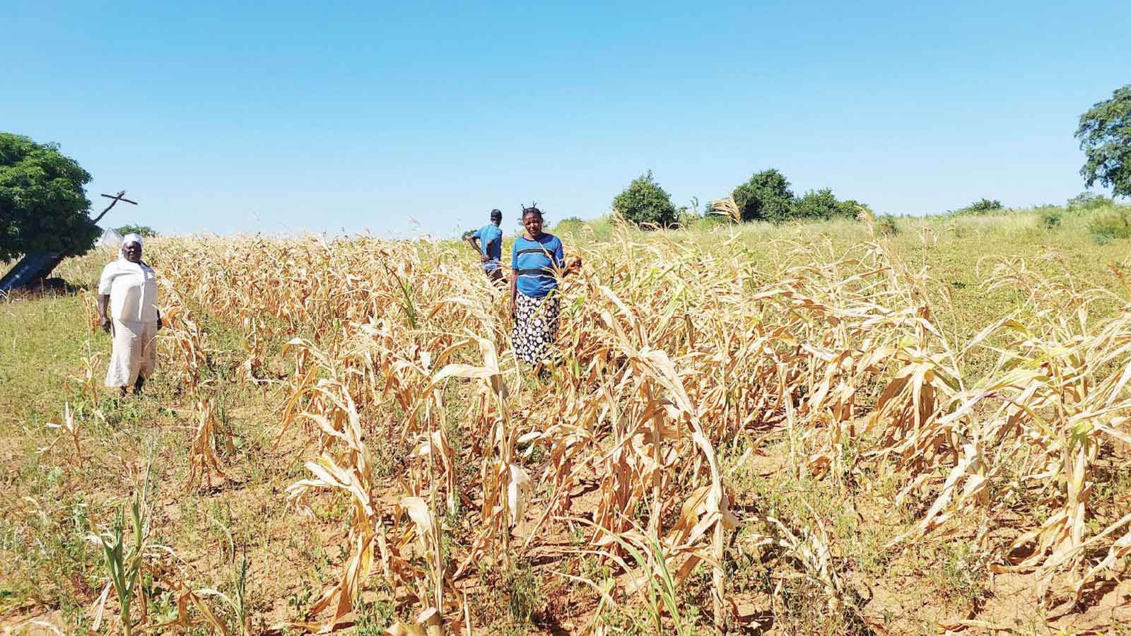
Mandy Freund
The world is bracing for the strongest El Niño in history.
The United Nations has made the grim prediction that our planet now sits in the “danger zone” of extreme weather.
That is based on data suggesting the current El Niño will break all previous records.
El Niño is a naturally occurring weather phenomenon that drives variations in temperature and winds across the Pacific Ocean and influences weather around the globe.
Globally, we have endured many strong El Niños in the past, but none has been as exceptionally strong and developed as quick as this one.
So, what is behind this potentially record-breaking El Niño? And how might it affect weather across the globe?
An exceptional El Niño
Scientists track El Niño activity using temperature data from the tropical Pacific Ocean near the equator.
Historically, this involved measuring how high or low temperatures were across this region.
However, scientists and weather organisations — including Australia’s Bureau of Meteorology — now use a relative index.
Instead of simply measuring temperatures, this relative index accounts for any background warming due to climate change.
This makes it much easier for scientists to identify how intense an El Niño is in a warming climate.
The current El Niño stands out for two main reasons.
Extra early
El Niño typically peaks in the period between November and January, but this one is already unusually warm this early in the season and is yet to peak during summer.
Extra hot
Recent data shows the relative index for August was 2.3°C above average, stronger compared to other El Niño years. In Australia, El Niño years tend to coincide with hotter and drier conditions. However, every El Niño is different and can lead to different impacts. However, this El Niño will lead to record-breaking global temperatures in 2027.
How is it affecting the world’s weather?
This historic El Niño is already altering weather around the globe.
We see its most direct and severe impacts in countries surrounding the Pacific Ocean. Indonesia, for example, just this month was battling massive wildfires.
Scientists understand the current El Niño is a major driver of these increasingly fierce blazes.
El Niño is also reshaping how and where cyclones form.
Satellite pictures reveal there are currently four active tropical cyclones in the Pacific, from near Japan to as far away as Hawaii.
This is extremely unusual.
El Niño typically boosts cyclone activity in the eastern and central Pacific by carrying warmer water to those regions.
Usually, we only see one or two such cyclones.
In Australia, we are slightly more removed from the effects of El Niño.
However, we can expect to feel its presence more strongly as we head into spring.
The Bureau of Meteorology’s seasonal forecast suggests Australia has so far had a textbook response to El Niño.
Temperatures are rising — up to an unseasonable 37°C this week in parts of northern Australia — and conditions are getting drier.
Much of eastern and central Australia can expect an unusually dry spring and summer, potentially heightening bushfire risk.
However, a record-breaking El Niño will not necessarily trigger catastrophic bushfires in Australia.
Consider three of the last strong El Niños we have experienced. In 1982, a robust El Niño coincided with drought-like conditions.
In contrast, during the El Niño years 1997-1998 and 2015-2016, some parts of Australia received drenching rain while other regions barely registered any moisture.
What may lie ahead
The intensifying El Niño will likely exacerbate the consequences of climate change.
As El Niño strengthens, countries around the world will be forced to grapple with increasingly extreme weather.
Tragically, the most disadvantaged will be the hardest hit, with nearly 50 million people in vulnerable communities likely to be pushed into acute hunger. Farmers across the globe face more unpredictable weather, from crop-destroying floods in South America to severe drought in parts of Africa.
To protect the world’s people and ecosystems, governments must invest in robust research.
We urgently need more modelling capability to identify which regions will be worst affected by the strengthening El Niño.
This is particularly true for Australia, where a lack of understanding of how climate change on top of a strong El Niño will affect local conditions.
This record-shattering El Niño is already compounding the destructive effects of climate change.
But it may be just the catalyst we need to finally abandon fossil fuels and curb our world-warming emissions. — The Conversation
Mandy Freund is lecturer, Climate Science Geography, at the University of Melbourne.



 Online Reporter