Online Reporter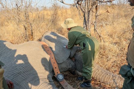
Fairness Moyana in Hwange
A TOTAL of 30 elephants have been fitted with GPS-enabled satellite collars in and around Hwange National Park in a move expected to improve wildlife monitoring and help authorities tackle escalating human-wildlife conflict.
The latest collaring exercise involved three female and three male elephants, bringing to 30 the number of elephants collared under a partnership between the Zimbabwe Parks and Wildlife Management Authority (ZimParks) and the International Fund for Animal Welfare (IFAW) since the programme began in early 2024.
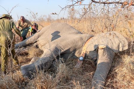
The operation was funded by the Dutch Postcode Lottery. The satellite collars transmit data on elephant movements, allowing conservation authorities to identify frequently used routes, potential conflict hotspots and important wildlife corridors.
The information is also expected to support early-warning systems and long-term land-use planning in the Hwange landscape, where communities live alongside one of Zimbabwe’s largest elephant populations.
IFAW senior director for the Landscape Conservation Programme, Mr Phillip Kuvawoga, said technology was increasingly important in finding practical solutions to human-wildlife conflict.
“This work demonstrates how science and technology can strengthen conservation efforts. Every collar helps us better understand elephant movements and develop practical solutions that reduce conflict and protect this iconic species,” he said.
The tracking programme comes as climate variability and prolonged dry conditions place additional pressure on water and food resources across the Hwange landscape.
Elephants require large quantities of water and vegetation and can travel long distances when resources become scarce. Their movements can take them beyond protected areas and into communal lands, increasing the risk of encounters with farmers and their livestock.
In Hwange, human-wildlife conflict has been a persistent challenge, with crop destruction by elephants posing a threat to rural livelihoods, particularly during periods of drought.
Climate change is expected to compound the problem as changing rainfall patterns, rising temperatures and more frequent dry spells affect the availability and distribution of water and forage.
The GPS data could, therefore, help authorities move towards a more preventative approach to conflict by identifying elephant movement patterns before the animals reach communities.
It could also assist planners in protecting wildlife corridors from developments that could restrict the movement of elephants.
ZimParks Director General, Professor Edson Gandiwa, said scientific information was critical to effective wildlife management.
“Conservation decisions are strongest when guided by sound scientific evidence. Through our partnership with IFAW, this programme is generating valuable information to strengthen elephant management and support coexistence between people and wildlife,” he said.
The programme forms part of IFAW’s Room to Roam initiative, which seeks to conserve, restore and reconnect about 320 000 square kilometres of wildlife habitat across eastern and southern Africa.
The initiative is based on the recognition that elephants require connected landscapes rather than isolated protected areas to move between feeding, watering and breeding areas.
For Hwange, the tracking data could provide authorities with a clearer understanding of how elephants use the wider landscape and where conservation corridors need to be protected.
It could also help strengthen efforts to balance wildlife conservation with the livelihoods of communities living on the edge of protected areas.