Online Reporter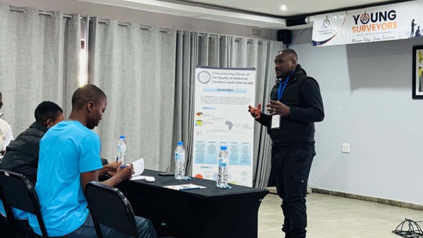
Herald Reporter
AT LEAST 36 young geospatial professionals, students, researchers and practising surveyors were trained in practical GIS workflows that connect location data with climate, environmental and health information.
The training was recently conducted by the Midlands State University Place Alert Labs (PALs), in partnership with the Centre for Sexual Health, HIV and AIDS Research (CeSHHAR) Zimbabwe during the Survey Institute of Zimbabwe Annual Conference and 58th Annual General Meeting in Bulawayo.
PALs is a research initiative led by the Surveying and Geomatics department at Midlands State University.
The three-hour workshop, held as part of the 2026 Young Surveyors Pre-offered hands-on exercises, and participants worked with Zimbabwe spatial datasets, climate grids, satellite-derived environmental products, exposure timelines and AI-assisted spatial querying tools.
The training demonstrated how surveying and geospatial skills could help reveal the links between land, climate, health and urban planning.
The workshop forms part of Place Alert Labs’ and CeSHHAR’s wider commitment to translating research in spatial health, environmental exposure and artificial intelligence into open, practical training for students, early-career professionals and practitioners.
Participants noted that location was the bridge between seemingly separate issues, for instance, where people live, work and move shapes the climate, air quality, environment and services they are exposed to, and ultimately influences health and development outcomes.
Surveyors and geospatial experts are uniquely positioned with their earth observation skills to use geography as an organising principle, using location to link climate variables such as extreme heat to health data.
Place Alert Labs is continuing to develop additional open training modules in areas including drone-based data acquisition, air quality modelling and advanced exposure assessment.
Outgoing chairman for SIZ Spatial Information Management and Young Surveyors Network, Mr Kumbirai Matingo said surveying was no longer just about defining where things are.
“The profession has evolved to help us in understanding what location means for people, communities and the future. This partnership has shown that when geospatial expertise meets artificial intelligence and public health, we unlock new opportunities for innovation, resilience and national development while inspiring young professionals to lead that transformation,” he said.