The exercise began on Tuesday last week and ends tomorrow.
In an interview, the Zimbabwe National Statistics Agency (ZimStat) population census and survey director Mr Wellington Mapeta said the exercise was being conducted well in all the 85 enumeration areas.
“The process is going on well. So far no challenges have been faced by the teams conducting the enumeration survey,” he said.
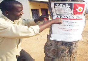
The survey, which is an independent exercise that replicates a census, was being conducted in 85 enumeration areas across the country in both rural and urban areas.
Zimbabwe held its fourth census between 17 and 27 August this year.
“By conducting the survey, we are trying to evaluate how we efficiently carried out the census to find out if there are omissions or duplications,” said Mr Mapeta.
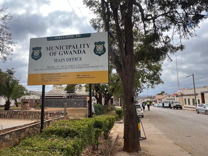
In Bulawayo, the enumeration survey covers 10 wards, namely 2, 5, 8, 10, 12, 14, 18, 22, 26 and 29.
In Matabeleland North teams are in Tsholotsho (Ward 10), Binga (Ward 21) and Ward 17 in Lupane while in Matabeleland South they are in Bulilima (Ward 1), Gwanda Rural (Ward 6), Matobo (Ward 10) and Beitbridge Urban (Ward 5).
In Midlands, the teams are in Wards 7 and 18 (Gweru Urban), Kwekwe Urban (1), Gokwe Centre (3 and 33), Gokwe South (14 and 31), Kwekwe Rural (22) and Mberengwa (28).
Preliminary results for the census that started on the midnight of 17 August with the counting of vagrants and those in transit would be released mid-next month.
However, due to logistical challenges in some areas it started on 18 August.
Over the years, Zimbabwe has successfully conducted population censuses after every 10 years since 1982.
The fundamental purpose of a census is to provide the facts essential to government for policy-making, planning and administration.
The characteristics of the population drive the decision-making that facilitates the development of socio-economic policies that will enhance the welfare of the people.
Additionally, the population census provides important data for the analysis and appraisal of the changing patterns of rural or urban movement and concentration, the development of urbanised areas, geographical distribution of the population according to such variables as occupation and education, as well as the socio-economic characteristics of the population, which the city councils may use.