Nqobile Bhebhe, Zimpapers Business Hub
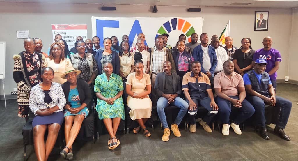
THE Food and Agriculture Organization of the United Nations (FAO), in partnership with the Government of Zimbabwe (GoZ), is hosting a five-day training workshop on Geographic Information Systems (GIS), Remote Sensing (RS) and KoBo Toolbox in Bulawayo.
More than 30 officers from districts most prone to droughts, floods and other climate-induced hazards are participating in the training.
The workshop is designed to strengthen disaster preparedness and resilience among sub-national officers from the Directorate of Agriculture and Rural Development Advisory Services (ARDAS) and the Directorate of Veterinary Services (DVS). Its objectives are divided into primary operational goals and strategic, long-term goals that support Zimbabwe’s early warning and anticipatory action systems as the government drives its food and nutrition security agenda.
“The workshop comes at a critical time, as the country gears up for the upcoming summer season and beyond, with disaster preparedness taking centre stage,” the Ministry of Lands, Agriculture, Fisheries, Water and Rural Development said in an update.
“These participants are frontline technical staff from the Directorate of Veterinary Services (DVS) and the Directorate of Agricultural and Rural Development Advisory Services (ARDAS), who play a pivotal role in safeguarding rural livelihoods.”
The initiative forms part of a broader collaboration between government and development partners, aimed at shifting from reactive responses to proactive, anticipatory action.
“By equipping officers with the ability to geotag and report hazards such as crop stress, livestock diseases and rangeland degradation, the programme will ensure timely, evidence-based interventions,” the update added.
A key feature of the training is the integration of KoBo Toolbox with mobile devices already used by extension officers. This innovation is expected to make field data collection faster, more accurate and cost-effective, delivering real-time information on emerging threats.
Beyond immediate capacity building, the programme aims to establish a national geospatial data network that crowdsources location-specific information into a centralised platform. This will strengthen early warning systems, enable rapid response, and provide a solid foundation for disaster risk reduction and evidence-based policy decisions.
“Ultimately, this transformative step underscores FAO and the Government’s commitment to resilience building, disaster preparedness and protecting agricultural livelihoods, laying the groundwork for a more food-secure Zimbabwe.”