Sunday Mail Reporter
The Zimbabwe Electoral Commission (ZEC) has received over US$80 million to fund the redrawing of National Assembly constituency and local authority ward boundaries, with the exercise set to be completed by year-end.
ZEC has also enlisted the Zimbabwe National Geospatial and Space Agency (ZINGSA) and the Ministry of Local Government and Public Works to help in the speedy mapping of physical constituency boundaries ahead of next year’s harmonised elections.
ZINGSA has deployed its extensive geospatial mapping expertise and space science technologies to facilitate the remapping of electoral boundaries using high-tech drones and powerful computers, a first in the country’s history.
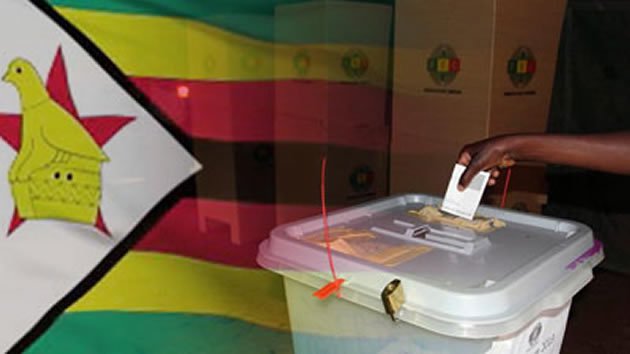
Zimbabwe’s next elections will be held using new electoral boundaries.
The delimitation entails coming up with a minimum threshold of registered voters in each of the country’s 210 National Assembly constituencies and 92 local authorities.
Presently, there are about 5,8 million registered voters on the voters’ roll.
ZEC spokesperson, Commissioner Jasper Mangwana, said the final delimitation report will be submitted to President Mnangagwa before year-end in compliance with the Electoral Act.
“Delimitation has started and now we are on the ground,” he said in an interview.
“We have US$83 million, which was set aside for the delimitation exercise, which is coming in different phases.
“We expect the report to be presented to the President in December and will also be tabled in Parliament.”
He said to ensure that new electoral boundaries are used during next year’s elections, the final delimitation report must be released this year.
“We have trained the requisite personnel. We did stakeholder engagements during the first half of the year and now we are doing stakeholder conferences in districts.”
The elections management body, he said, was presently interfacing with civil society organisations, political parties and traditional leaders as set out in laws governing the conduct of the delimitation.
“We have also set up the national delimitation committee, which is chaired by the commission chairperson (Justice Priscilla Chigumba),” said Comm Mangwana.
“We also have provincial and district delimitation committees.
“We are also working with local authorities, the geospatial agency, the Registrar-General’s Office and the Ministry of Home Affairs.”
ZINGSA coordinator, Dr Painos Gweme, said high-tech equipment had been deployed to aid the exercise.
“We are offering space science technology to complement the delimitation exercise,” he said.
“So, we are offering drones, photographers and modern technologies in the marking of boundaries and this is set to contribute immensely to the whole exercise.”
Delimitation refers to the dividing of the country into constituencies and wards for purposes of elections and is carried out after a population census.
“Once every 10 years, on a date or within a period fixed by the Commission so as to fall as soon as possible after a population census, the Zimbabwe Electoral Commission must conduct a delimitation of the electoral boundaries into which Zimbabwe is to be divided,” reads Section 161 of the Constitution.
“If a delimitation of electoral boundaries is completed less than six months before polling day in a general election, the boundaries so delimited do not apply to that election and instead the boundaries that existed immediately before the delimitation are applicable.”
The last delimitation was done in 2008.