Online Reporter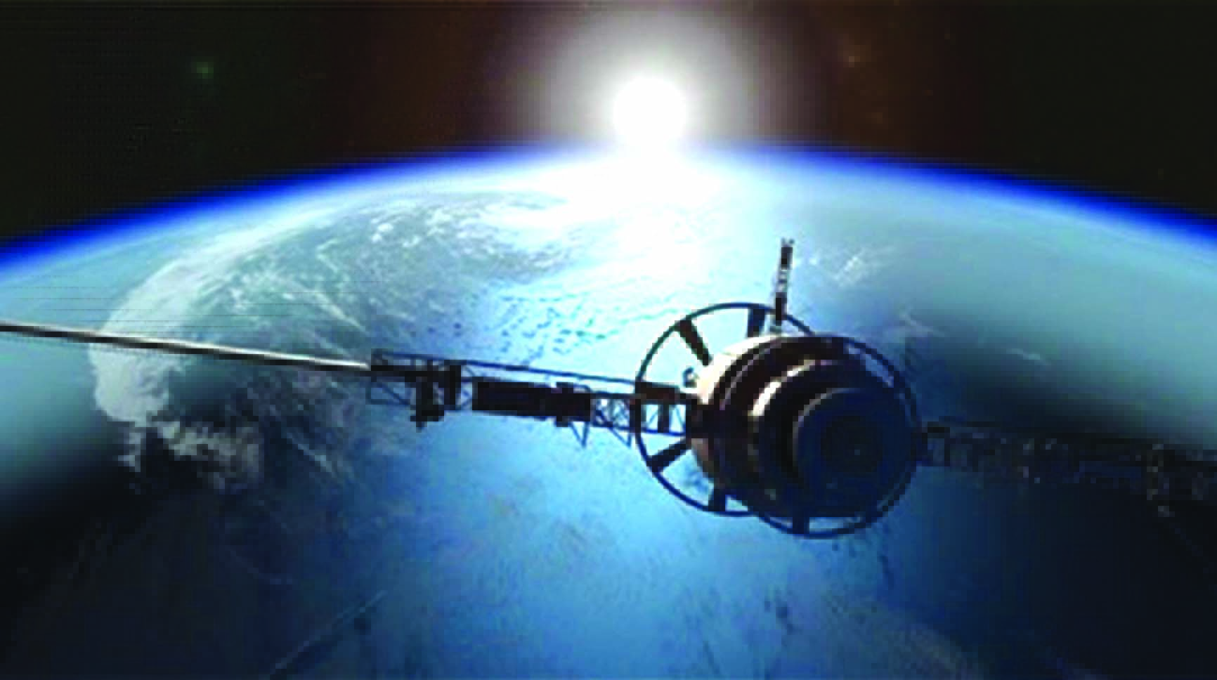
Plans to build and launch a third satellite dedicated to observing Zimbabwe, with suitable frequencies to ensure real-time tracking of land use, crop cycles, soil moisture, and the like, show how much benefit has already been gained from the first two dedicated Zimbabwean satellites.
Now, those responsible for gathering data and using it to make ever-more informed decisions want to upgrade what we already have, and those two satellites have proved most useful in many ways, from mapping informal settlements onwards.
Satellite monitoring does not mean we can do without technical experts on the ground, but it can help them immeasurably and make them far more efficient and productive.
In many cases, we need to have top-flight ground data so we can intelligently interpret the satellite data, knowing precisely what the images are actually showing.
You can keep track of the growth of arid areas, the growth of forests, or the restoration of wetlands.
When checking out the geology of Zimbabwe, the satellite images need to be interpreted by people who understand that infrared light reflected in a certain way indicates that the underlying rock is probably of such-and-such composition, with strata aligned in that direction.
One major use of the initial pair of satellites was to map the land-baron settlements that sprang up around our cities.
The Government, under President Mnangagwa, was keen to grant title deeds where possible.
That required a double process: first, working out where the settlement was and how it wound around, say, a wetland, or how it had unfortunately encroached upon it.
That at least told you, from the satellite images on a particular date, what the settlement covered on that date.
Second, once the unacceptable developments on land zoned for public use, such as schools and health facilities, or where wetlands have been encroached upon, had been excluded with precise details of the numbers of households affected, someone had to prepare the exact maps with measurements so the deeds could be issued.
Sending out survey teams with theodolites and survey chains would mean it could take years to prepare the deeds, while the precision of modern mapping from orbit provided a much-desired shortcut.
There was also the useful extra information to implement the Government policy that the regularisation had a cut-off date, and any houses built after that date could not be included.
A satellite picture provided certain proof very quickly of just what was in place on the cut-off date.
Admittedly, some of this work can be done by aerial mapping, and a great deal of such work was done from the late 1950s once suitable reconnaissance aircraft were available, but modern satellites provide more precision and allow a greater range in data collection.
After the capital cost of the satellite and the launch are covered, and with those costs continually falling, it becomes a far cheaper solution.
It also means that the data is not only more complete but is ready almost instantly.
There are commercial satellites in orbit that offer the desired services, but these are hardly dedicated to such a small country as Zimbabwe, hence the need for us to have our own satellites in orbit, carefully tailored to collect the data we really want.
Because they are dedicated, they can collect data every day.
If you are mapping a flood, for example, having a satellite image every 12 hours might be essential.
It might seem strange that modern, up-to-date technologies at the cutting edge of the technical world are so useful in developing countries, yet they easily justify the investments required.
However, Africa, in many ways, needs to leapfrog the gap between Victorian and modern methods.
We saw this in communications.
In the 1980s, the island of Manhattan had twice as many telephone lines as sub-Saharan Africa minus South Africa.
There were long, gloomy reports on the sort of investment that would be required to install all the copper cabling and exchanges.
Then came the mobile phone, which required far lower investments for universal coverage.
Within a decade or two, Africa sprang from around one to three phones, depending on the country, for every 100 inhabitants; a phoneless adult became a rarity that excited comment—an almost instant transformation.
We are now in the earlier stages of a similar revolution in household energy.
While electrical grid connections are still needed for mines, factories, and larger business centres, solar panels can power schools, clinics, and homes.
Rural Africa, within a surprisingly few years, is likely to see most homes equipped with the basic setup to power lights, a phone charger, a fridge, and a cheap laptop.
These technical revolutions all mesh together.
Many who will need the new satellite data are likely to be hardworking officials in rural areas who need to know what is happening within hours of it occurring.
With a decent satellite providing real-time data, a smartphone or bigger screen, and a power source, they will be properly connected.
The decision by the Second Republic to push technology that is useful or essential for Zimbabwe’s progress means that everyone, from a small farmer to experts tackling climate change, at least starts off with the essential data that allows them to make intelligent and rational decisions.