Elita Chikwati Senior Reporter
Geomatics professionals have pledged to assist Government in coming up with solutions to challenges being faced by the country in surveying and the engineering sectors.
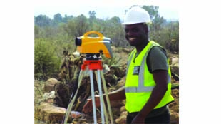
Geomatics is the broad term that covers land surveying, engineering surveying and geographic information systems (GIS), mining surveying, remote sensing and cartography.
Geomatics involves the art and science of measurement, analysis, management, and display of objects on, above and below the earth’s surface.
Geomatics professionals use satellite, laser, acoustic, and information technologies to acquire, process and manage the spatial/geographical data.
They also use their specialist skills, knowledge, and understanding in order to provide services that meet the needs of society which contribute to social and political stability, quality of life and the management of natural and man-made resources.
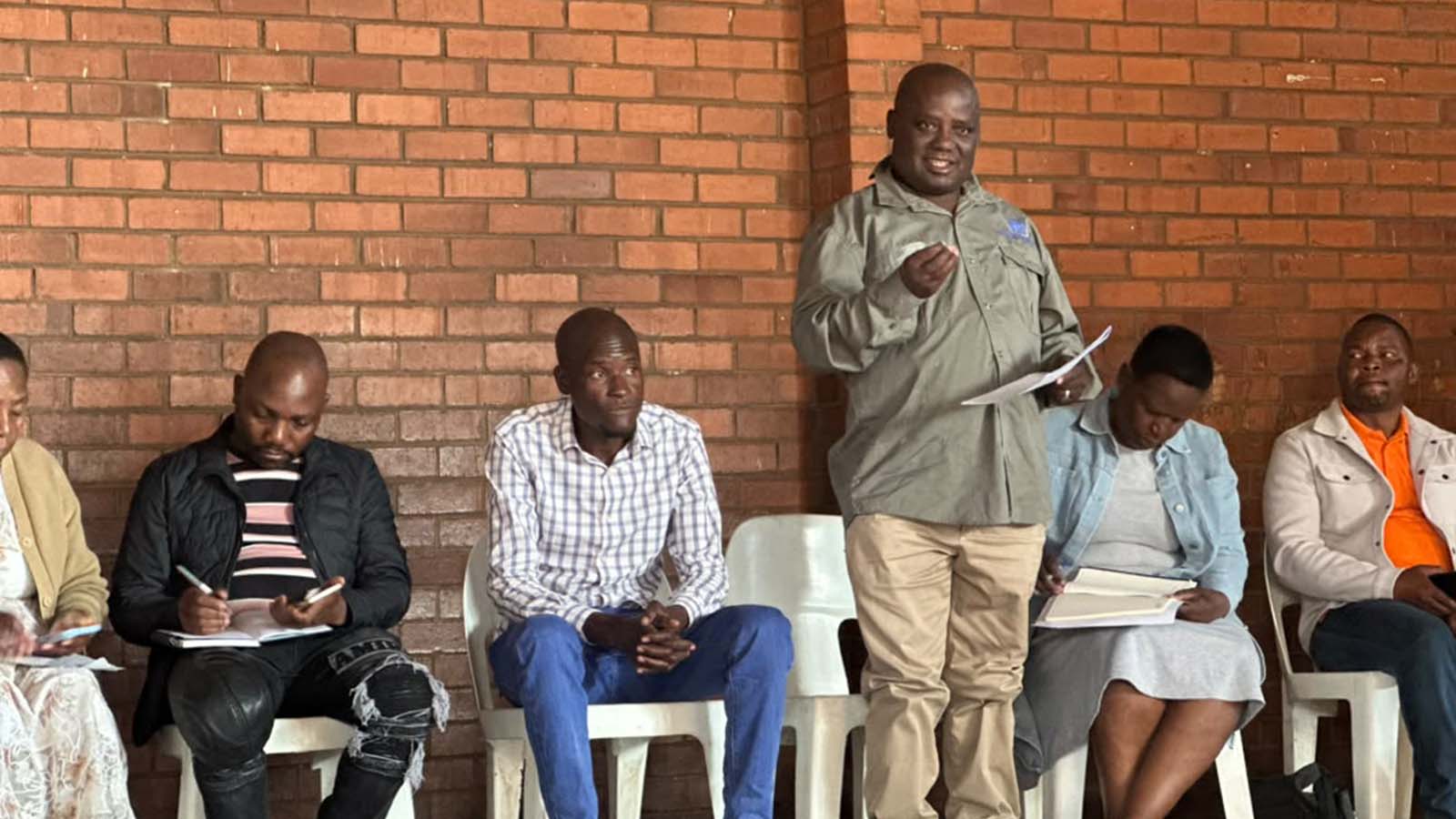
In an interview on the sidelines of the Zimbabwe Institute of Geomatics conference recently, ZIG president Mr Wilson Mhuri, said there was a need to ensure all professionals under geomatics were visible rather than being under land surveyors.
He said Zimbabwe had been lagging behind in terms of Geomatics technology because of economic hardships, but there was room to improve through coordination with other international professionals and service providers.
“The ZIS is trying to make sure all professionals are visible. We do not want only land surveyors to take the limelight. Geomatics is here to open for everyone.
“Zimbabwe is lagging behind because our country has been going through difficult times especially before November last year. As professionals, we do not want to blame political issues, we need to come up with solutions. We are lagging behind because of economic hardships but we want to work with Government to catch up with the rest of the world,” he said.
Mr Mhuri said the technology being used in Zimbabwe came at a cost and hardships the country faced made it difficult for locals to compete with their fellows in neighbouring countries such as Botswana and South Africa.
“We are trying to find ways to help ourselves as a profession and help Government to ensure it’s a win-win situation for all of us.
“We have called all international companies who will sell the technology we need to catch up with others.
“We want to have collaborations so that we talk to our Government if there is work that needs to be done so we collaborate with those with the latest equipment to ensure Government delivers on their mandate of infrastructure development while local professionals are equipped at the same time,” he said.
Presenting at the conference, Sadc Geomatics forum representative, Mr Jakoba Kgopolelo, said Geomatics was about selling information about location based assets packaged in different ways due to the intended use.
“When investors come to Zimbabwe, they want to know where it is convenient for them to do business, they need to know the spatial or geographic relationship of supporting services even the market itself.
“Often than not, we fail to exert our influence as professionals because we were not there to offer professional advice.
“My advice is to find strategic people and work with them to develop Zimbabwe, we need them to facilitate policies that can embrace our skills and actually utilise our skills to benefit Zimbabwe,” he said.
Zimbabwe Institute of Geomatics (ZIG) was formed on March 13, 2018 in response to the need for change in ways of handling Geomatics matters. The use of the “surveying” term in this modern world is slowly being phased out as the new order gives birth to the use of a term “Geomatics” which clearly encompasses all the disciplines.
This institute seeks to address all the issues currently being experienced in the Geomatics industry in Zimbabwe and serves the interest of the young and old, the experienced and the inexperienced, the vulnerable and the powerful.
ZIG seeks to address the need for change in the roles involved in shaping this profession using the energy expected from the young Geomaticians coupled with the knowledge and experience from their respected seniors. This institute is therefore formed to close that gap and facilitate creation of Non-cadastral firms, which will then be able to employ and train fresh graduates from learning institutions.
The formation of Non-Cadastral firms will also help in creating industrial training opportunities for current students studying Geomatics courses.
ZIG will provide real professional stimulus to both the public and members by creating visibility in the built environment through awareness programmes.
There has been a serious gap in the market with regard to Non-Cadastral disciplines, and against this backdrop, it is common practice for clients, including government, that require the services of experts in this field to outsource from other professions or neighbouring countries.
Some of the people who are engaged to carry out the jobs have no sound background of Geomatics, leading to erroneous surveys and defective Geomatics deliverables.
The lack of regulation in this area create challenges for Government or clients in holding the persons doing the work accountable.
Some of the people cannot even be traced in future in case they are needed to take responsibility and accountability on the projects.