Takunda Gambiza and Takudzwa Mangrozah
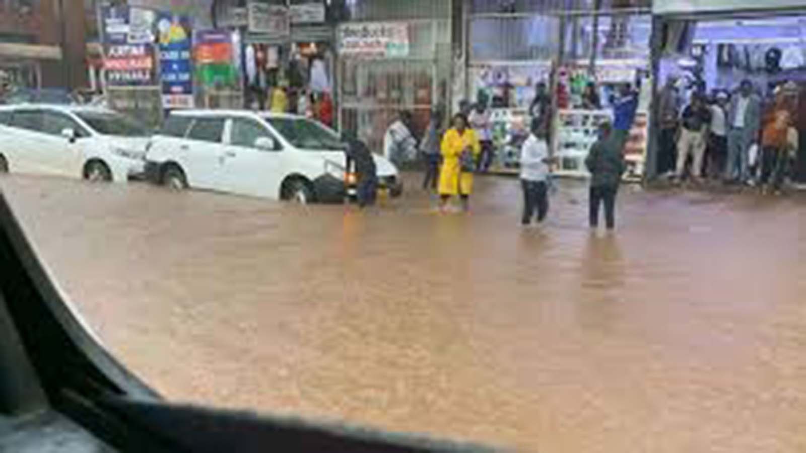
HARARE is strengthening its flood preparedness strategy through hazard mapping, with officials outlining how the approach will help mitigate risks, guide evacuations and reduce damage during disasters.
The discussions emerged at a city-level workshop last week, that was focused on practical measures to prepare for floods, respond effectively and protect vulnerable communities.
African Cities Research Consortium programmes coordinator Dr George Masimba said flood mapping is being driven by both scientific data and community experiences.
“We are relying heavily on communities because they are the ones experiencing flooding-related issues,” said Dr Masimba.
He said they were receiving critical information from residents on drainage challenges, infrastructure failures and housing disruptions in areas such as Budiriro, Tafara and Dzivaresekwa Extension.
“So we are drawing on those experiences as the basis for the data that is informing this study,” he said.
Dr Masimba added that this data is being integrated with Geographic Information Systems (GIS) from the city to produce more accurate flood risk profiles.
“We are also drawing on the city’s GIS data and combining it with community experiences to better understand flooding patterns,” he said.
He noted that climate change is intensifying flooding, particularly in informal settlements lacking adequate infrastructure, and said the mapping initiative will guide long-term planning decisions.
In respect of public health, the head of Environmental Health Services, Mr John Manyara, said the mapping is critical in preventing disease outbreaks associated with floods.
“We overlay flood-prone areas with data on population density, sanitation infrastructure and previous disease outbreaks to identify high-risk zones,” he said.
Mr Manyara said this enables the city to take early precautions before flooding occurs.
“This information allows us to act early by pre-positioning water treatment chemicals and emergency supplies in vulnerable areas,” he said.
He added that the department also intensifies inspections and community awareness campaigns to reduce health risks.
“We also target hygiene promotion and community awareness campaigns to prevent diseases such as cholera and typhoid,” he said.
Mr Manyara said flood hazard maps are also playing a key role in emergency response planning.
“Flood hazard maps are informing evacuation routes and temporary safe shelter locations,” he said.
The workshop highlighted how integrating community knowledge, scientific data and health planning can improve the city’s ability to prepare for floods, minimise damage and protect lives.