admin
admin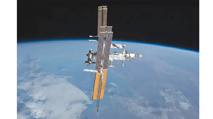
Elton Manguwo
WITH all indications pointing towards the irreversible adoption of precision agriculture, as the nation marches towards attaining Vision 2030, all eyes are on the country’s recently launched Zim-Sat1 and its expected contribution in hastening the process through sustainable and planned production processes.
The Agricultural and Rural Development Advisory Services (ARDAS) chief director, Professor Obert Jiri, said the department had incorporated the satellite in its various agricultural processes from data collection to farming.
“Satellite-based navigation systems are widely used for expansion of precision farming and efficient use of resources,” he said.
The ZimSat-1 will help address key issues related to utilisation of space technologies and solutions for a sustainable agricultural sector.
“The targets of sustainable development goals (SDGs) framework and the mitigation of climate change effects for food security amid increasing populations and corresponding pressures on the available agricultural land are now more attainable,” said Professor Jiri.
Precision farming technologies often use global navigation satellite systems to improve efficiency by cutting unnecessary expenses on seed, fuel, agro-chemicals and time.
“Accurate information can help in predicting a region’s agricultural output well in advance. Henceforth, this is critical in anticipating and mitigating food shortages and famines by providing the base for policy formulation,” said Professor Jiri.
The Ministry of Lands, Agriculture, Fisheries, Water and Rural Development has made significant strides in modernising agriculture and the use of the ZimSat-1 complements the effort in continuous improvement of farming in the country for maximum production.
In addition, the satellite enhances business practices in farming, as it focusses on the concept of using less to produce more, which is key in both profitability and sustainability.
“Precision farming systems can increase yields by five percent, which is a considerable portion in an industry with slim profits,” said Professor Jiri.
The Zimbabwe National Geospatial and Space Agency coordinator Mr Painos Gweme recently highlighted how the satellite was equipped with remote ground sensors integrated with geospatial technologies and location based services sensors that assist with weather monitoring.
“Rainfall assessments from the satellite technology can help farmers plan the timing and the amount of irrigation they will need for their crops,” he said.
With modern technology at its disposal, the department developed a revised agro-ecological map of the country’s ecological regions, which has been useful in crafting a strong input distribution framework for last year’s Presidential Input Pfumvudza/Intwasa programme.
The first round of the Crop, Livestock and Fisheries Assessment was undertaken using the satellite for more accurate data.
Zimbabwe National Geospatial and Space Agency (ZINGSA) and Scientific and Industrial Research and Development Centre (SIRDC) were also involved and are working on crop models to provide results in due course.


 Online Reporter