Ray Bande
Senior Reporter
CHIMANIMANI is a vernacular term that can loosely translate to mean ‘to be squeezed together’.
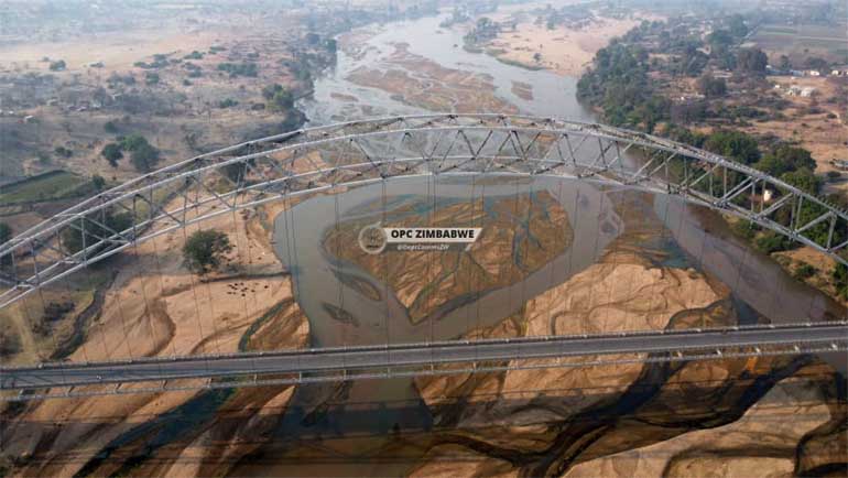
The south-eastern border district is home to various tourism products such as The Bridal Veil Falls, Chimanimani Mountain Range, Barrosus Palm Tree and unique rock formation of the Mawenje Mountain, Tesas Pool, and Chimanimani National Park, among others.
The name Chimanimani, derived from the narrow pass in the Chimanimani Mountain Range, evokes images of breath-taking scenery – towering peaks, cascading waterfalls, and dense forests.
However, in recent years, the mere mention of Chimanimani has become increasingly associated with natural disasters, rather than its world-class tourism offerings.
The devastating impact of the 2019 Cyclone Idai catastrophe still lingers, leaving indelible scars on the minds and hearts of the district’s inhabitants.
In a recent reminder of the region’s vulnerability, an earthquake struck the district last Thursday, rattling locals and buildings around 3am.
Fortunately, no infrastructure damage or human casualties were reported.
In a statement, the Meteorological Department stated: “An earthquake of magnitude 3.9 (Local Magnitude) occurred in Chimanimani on July 17, 2025 at 3am local time.
The earthquake was felt in Chimanimani District. Earthquakes in this region are associated with the East African Rift System, which extends southward into Mozambique.
The earthquake was of moderate magnitude and no reports of damage were received,” reads part of the statement.
Although the latest earthquake episode fortunately did not result in any casualties, the frequent occurrence of natural disasters in Chimanimani in recent years is a growing concern.
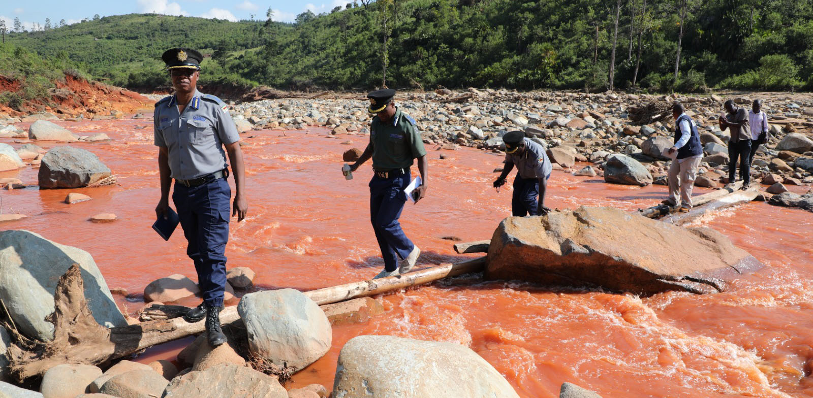
The district has been battered by a series of cyclones and heavy rainfall events, leaving residents on edge.
In an exclusive interview this week, Meteorological Services Department Focal Person for Manicaland, Mr Tapiwa Maringo revealed that Chimanimani’s susceptibility to cyclones is largely due to its proximity to the Indian Ocean.
This geographical location makes the district increasingly vulnerable to cyclonic activity.
“Chimanimani has experienced the hydro-meteorological hazards – cyclones. Cyclone Idai of 2019 caused severe flooding, landslides, and high winds, resulting in numerous deaths, injuries, and displacement. Cyclones are prone to the district due to its proximity to the Indian Ocean where the cyclones develop.
“Floods – heavy rainfall associated with cyclones and other weather patterns leads to flash floods and riverine flooding, inundating communities and damaging property.
“Landslides – the mountainous terrain of Chimanimani, combined with heavy rainfall, makes the area prone to landslides, further exacerbating the impact of cyclones and floods.
“Droughts – prolonged dry spells and droughts also affect the district, impacting agriculture and food security especially on the western side of the district,” said Mr Maringo, further pointing out that precautionary measures, including effective information dissemination, need to be put in place.
He said the people of Chimanimani should stay informed and take proactive measures to mitigate the impact of extreme weather events, while also highlighting the need to construct resilient infrastructure.
“The people of Chimanimani need to stay informed about weather forecasts and warnings from MSD. They should also secure their property by reinforcing windows and doors, clearing gutters and downspouts, and securing loose objects that could be blown away by strong winds,” advised Mr Maringo.
He emphasised the importance of understanding the area’s vulnerability to specific hazards, such as cyclones, floods, thunderstorms, and landslides.
“This knowledge will inform decisions on relocation, if necessary. Relocating to safer grounds, especially in flood-prone areas, is a better option,” said Mr Maringo, also stressing the need for regular drills and identifying evacuation routes.
“Locals should practice evacuation procedures and know the designated evacuation routes leading to higher grounds, especially in low-lying areas,” he said.
Disaster management expert, and Catholic University of Zimbabwe lecturer, Mr Onsimo Magarabha, attributed Chimanimani’s growing vulnerability to climate change.
“The area was once a dense forest, but it is gradually turning into a desert. With the current high environmental degradation, it is alarming to think what the area will be like in five years,” he said.
Mr Magarabha believes afforestation and reforestation are crucial steps in addressing the climate-induced challenges facing Chimanimani.
“To start addressing these challenges, we need to initiate a massive reforestation effort in areas that are being degraded daily. Empowering the local community on climate change is vital,” said Mr Magarabha, adding that while external assistance is welcome, the community must take ownership of disaster risk management.
“Community-based disaster risk reduction efforts should be integrated into daily life, discussed in churches, political gatherings, and other community meetings. Climate change is a harsh reality, and every individual has a responsibility to act now,” he said.
Acting Chimanimani District Development Coordinator, Mr Elisha Mushayavanhu said they have upped their game in having awareness campaigns in local communities.
“Natural disasters come in different forms, and it depends with the type and nature of disaster. But generally, we have awareness campaigns once there is a warning of pending disaster. Awareness campaigns inform the community to be on high alert, dos and don’ts, our evacuation centres, and reporting channels.
“Other measures are in the form of strengthening community resilience such that when disasters strike, they can be in a position to bounce back or withstand for example, establishment of income generating projects and capacitation of ward and village DRR committees to manage and coordinate disasters at that lower level,” said Mr Mushayavanhu.