Flora Fadzai Sibanda, Chronicle Reporter
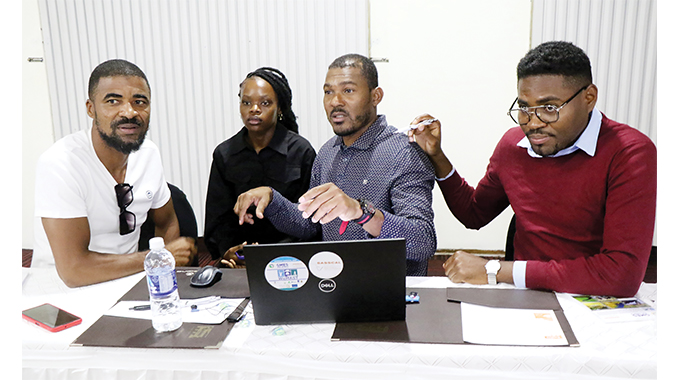
REPRESENTATIVES drawn from South Africa, Zimbabwe, Uganda, DRC, Botswana, Zambia, and Namibia attended a wetland monitoring and assessment training using earth observation applications in Bulawayo.
The training workshop was hosted by Southern Africa Science Service Centre for Climate Change and Adaptive Land Management (SASSCAL) under its WeMast (Wetland Monitoring and Assessment Service for Transboundary Basins in Southern Africa) project last week.
The project, which has been ongoing for some time, is now in its second phase of up scaling the online geoportal, which is aimed at making it more user-friendly, and to operationalise it by making sure the end users are aware and have access to it.
A geoportal is a type of web portal used to find and access geographic information and associated geographic services via the Internet. It is important for the effective use of geographic information systems and a key element of a spatial data infrastructure.
It is a software platform that can be accessed online and supports sustainable wetland assessment and monitoring services. It focuses on generating user information from the four targeted river basins, namely the Cavalia, Limpopo, Okavango, and Zambezi River Basin.
The application will make it easy for countries to control and monitor all the wetlands that are within their boundaries.
Wetlands are areas where water is the primary factor controlling the environment and the associated plant and animal life. They occur where the water table is at or near the surface of the land, or where the land is covered by water.
The phase is also meant to intensify the earth observation (EO) capacity building on applications in wetlands, data access, and pre-processing using cloud computing platforms as well as the overall EO wetland products and services validation.
Midlands State University (MSU) lecturer Dr Thomas Marambanyika said most wetlands in southern Africa are highly productive and biologically diverse ecosystems that contribute significantly to livelihoods and economic development.
He, however, said most of them are under threat from both human activities and natural phenomena hence the need for EO products that will help to monitor them.
“Zimbabwe is currently doing great work in terms of managing wetlands and there is already a wetland framework, which as a country, we have been working with since 2021. There [are] wetland national guidelines which help in teaching people how they should take care of wetlands,” he said.
WeMast phase 2 technical coordinator, Mr Dzikamayi Nyatoro said the training will capacitate people from different organisations, particularly environmental agencies so that they can have access to data to improve the monitoring of wetlands in their countries.
He said the main aim of the training was to make sure that countries get to know how they can have real-time EO data which will allow them to inform and make frameworks that are going to protect wetlands
“We want to have data that will be tangible from the EO for decision makers to make concrete and manageable decisions when they are dealing with their wetlands. This is the main initiative of the workshop as most people do not have data from earth observation because data is important in informing people and shaping decision-making bodies,” said Mr Nyatoro.
“The training is to help empower countries so they can go and also train other members in their countries on how they can use earth observation.” — @flora_sibanda