Theseus Shambare
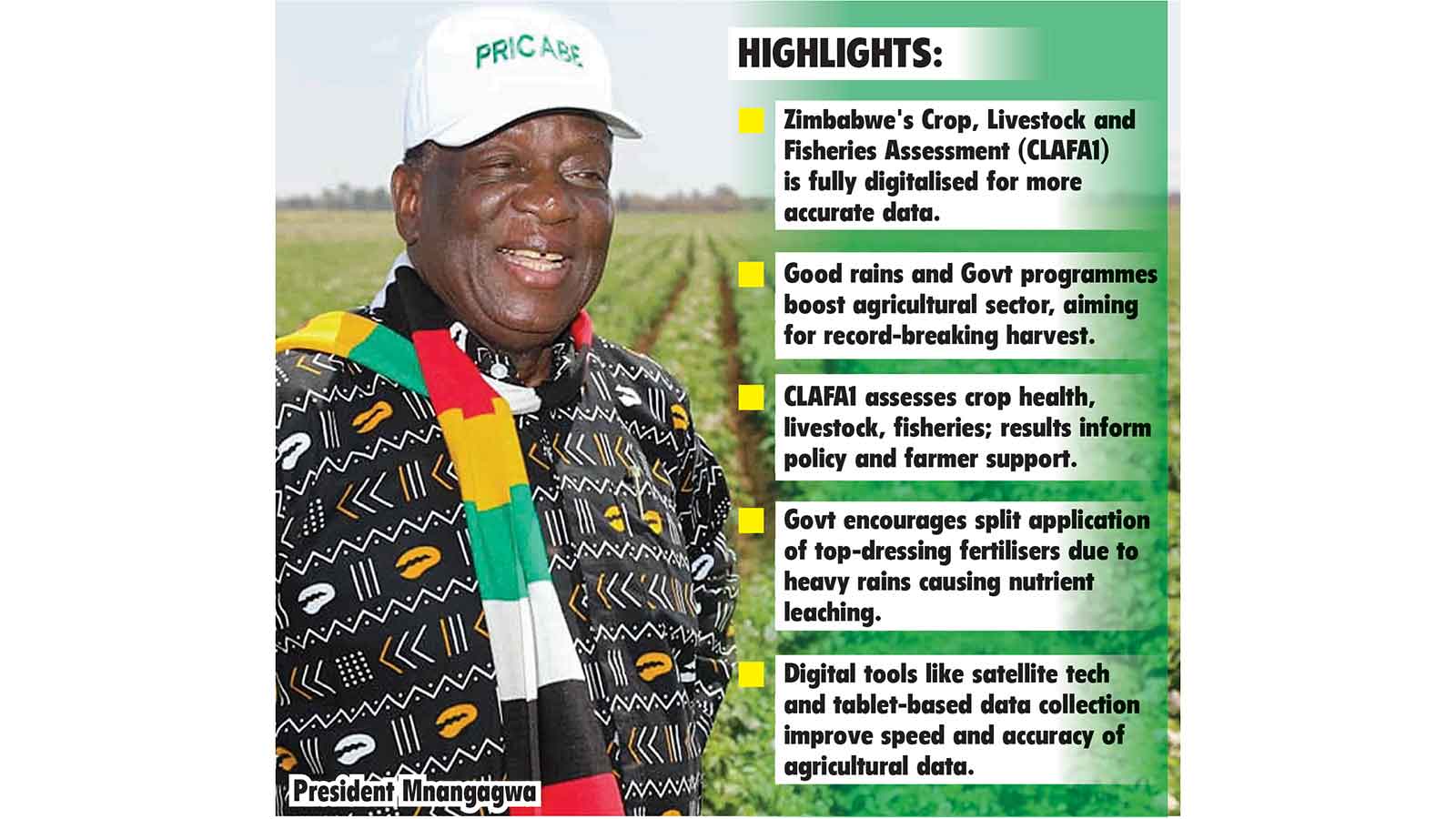
A FULLY digitalised first round of the Crop, Livestock and Fisheries Assessment (CLAFA1) has begun, with the preliminary assessment indicating record-breaking milestones due to the good rains being received this season.
The digital assessment, which is being implemented fully for the first time, is expected to improve the quality of the projections to more accurate data-driven outcomes.
The farming season’s good rains have been complimented by the Second Republic’s efforts in turning around the agricultural sector through several programmes that helped empower farmers.
In an interview aired on ZBC News recently, President Mnangagwa said the agricultural sector had been buoyed by a good season as most parts of the country were receiving rains, leaving crops at various stages of growth.
“The outlook this year, of the season, is very good. The rainy season is very good and the cropping across the country is very good,” he said.
“I am not receiving any complaints across the board from all the provinces. I think we are going to have a bumper harvest this year and it is very good for everybody. That is the basic thing which we need as a country, self-sufficiency in terms of food provision.”
The 2025/26 CLAFA1, which started last week represents a major upgrade in Zimbabwe’s agricultural assessment system.
Lands, Agriculture, Fisheries, Water and Rural Development Deputy Minister, Vangelis Haritatos, said the first round of the CLAFA1 was expected to be completed by the first week of February, when Government will announce national hectarage under each summer crop.
Speaking during a crop assessment tour in Mashonaland West on Friday, he said the second round, CLAFA2, scheduled for around April, will focus on yield projections and overall national performance, providing a comprehensive picture of the 2025–26 summer cropping season.
“Early indications from the field are very encouraging. From what we are seeing across the country, we have an exceptional crop and we are optimistic that this season has the potential to break records,” Deputy Minister Haritatos said.
He said the digitalisation of the assessment system, including satellite technology and tablet-based data collection, has significantly improved the speed, accuracy and reliability of agricultural data, enabling Government to make timely, evidence-based decisions on input support, agronomy interventions and food security planning.
“These technologies allow us to receive and verify information on a regular basis, ensuring that what we report reflects the actual situation on the ground,” he said.
“This strengthens confidence in national statistics and supports better planning across the broader agricultural sector.”
Building on digital tools introduced in 2018, this season incorporates real-time data transmission via satellite-linked tablets, geospatial verification supported by Earth observation satellites, including EOSTAT and ZINGSA, and enhanced statistical oversight to provide timely insights for national food security planning.
Agriculture and Rural Development Advisory Services (ARDAS) chief director, Mrs Medlinah Magwenzi, said extension officers were conducting pre-data collection surveys across all 1 565 rural wards, recording crop health, livestock conditions and fisheries productivity.
“The early rains reversed the November dry spell, but continuous wet spells have followed,” she said.
“Maize planting has increased significantly, with over 75 percent of crops in good condition. Traditional grains cultivation has also expanded.
“However, heavy rains can cause nutrient leaching, which is why Government removed duty on top-dressing fertilisers and is encouraging split application to protect yields.”
Mrs Magwenzi said improved pastures and water availability have boosted livestock health, while fishpond and dam stocking has reached peak levels under the Presidential Fisheries Scheme, which has expanded fingerling distribution to aim for record output.
“To safeguard these gains, our extension officers are urging farmers to scout for armyworm and fall armyworm, with free pest-control chemicals available at ARDAS offices,” she said.
The enhanced assessment is conducted under the custodianship of the Zimbabwe National Statistics Agency (ZIMSTAT), which leads sampling design, data processing, validation and dissemination to ensure credibility of national projections.
ZIMSTAT Director-General, Mrs Tafadzwa Bandama, said the Agency maintains “full statistical independence throughout the CLAFA1 process in line with the Census and Statistics Act [Chapter 10:29].”
She said the remote sensing and earth observation techniques, supported by partners such as the Food and Agriculture Organisation (FAO) and ZINGSA, will strengthen crop area and yield estimation across different agro-ecological regions, particularly under above-normal rainfall conditions.
Provincial reports highlight both opportunities and challenges.
Midlands provincial ARDAS director, Ms Busiso Mavankeni, said incessant rains have led to flooding across several districts, limiting physical access to farms.
“Where physical visits cannot be made, communication with farmers is mainly through the phone,” she said. “Crops are in fair to good condition, although excessive rains have caused heavy leaching, with maize showing acute nitrogen deficiency.
“Farmers are encouraged to apply top-dressing fertiliser in split doses when there is a break in the rains and to continue scouting for pests. Livestock condition is good due to abundant grazing, but tick activity is high, and farmers should dip their livestock at least once a week.
“The planting window is coming to an end for sorghum and sunflower, but farmers can continue planting beans and sweet potatoes.”
In Matabeleland North, acting provincial ARDAS director, Mr Mkhunjulelwa Ndlovu, said extension teams moved swiftly to contain pest threats in Tsholotsho, Binga and Hwange.
This year’s CLAFA1 also captures climate-smart practices at household and plot level, including Pfumvudza/Intwasa conservation agriculture, small grains planting and irrigation adoption.
Geotagged evidence and photographs are uploaded for verification and spatial analysis, while agrometeorological bulletins from the Meteorological Services Department guide adjustments for waterlogging, leaching and pest risks in real time.
Mrs Magwenzi said CLAFA1 results will directly inform Government policy, budget formulation and targeted farmer support.
“By embedding climate-smart metrics and geospatial validation, programming and resource allocation evolve in step with climate realities and farmer innovation,” she said.
“With these measures, we aim to consolidate a promising agricultural season, safeguard food security and strengthen resilience in the face of increasingly variable climate conditions.”