Sikhumbuzo Moyo [email protected]
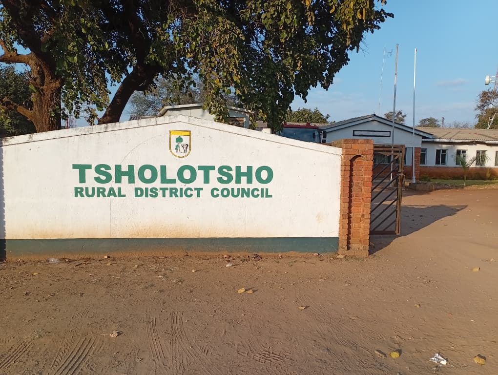
TSHOLOTSHO Rural District Council has launched a Property Information Verification and Geographic Information System (GIS) data collection exercise aimed at updating property ownership records and improving spatial planning within the Tsholotsho Town Area.
The exercise is being conducted in line with the Rural District Councils Act, the Regional, Town and Country Planning Act and the Valuation of Immovable Property Act.
In a statement, Chief Executive Officer Mr Nkululeko Sibanda said the exercise was part of the council’s statutory mandate to ensure that property records are accurate and up to date while strengthening planning and service delivery.
“The objective of this exercise is to verify and update property ownership and property records as well as obtain essential spatial planning data. This information is critical in enabling council to effectively plan and deliver services to residents,” said Mr Sibanda.
He urged residents, property owners, occupiers, tenants, businesses and institutions to cooperate fully with council officials carrying out the exercise.
“Council enumerators will carry official Tsholotsho Rural District Council Letters of Authority and residents have a right to request identification before providing any information. We encourage everyone to extend their full cooperation to ensure the successful completion of this important statutory exercise,” he said.
Mr Sibanda assured residents that all information gathered during the exercise would be used strictly for official council purposes and handled with the utmost confidentiality in accordance with the law.
He said the GIS data collection exercise would provide council with reliable information to improve land administration, development planning and the management of public infrastructure within the Tsholotsho Town Area.
The local authority has encouraged all stakeholders to participate in the exercise to facilitate accurate property records and support sustainable development in the district.