Zimpapers Reporter
ZIMBABWE is preparing to launch its third satellite, ZimSat-3, in a move expected to significantly strengthen the country’s capacity to use space-based technology for environmental management and national development.
Under the National Development Strategy 2 (NDS2), Government has prioritised the development and deployment of ZimSat-3, building on the foundations laid by the successful launches of ZimSat-1 and ZimSat-2.
The new satellite will enhance Zimbabwe’s satellite-based data capabilities across critical sectors, including agriculture, land use planning, mineral exploration, environmental monitoring, climate change adaptation and national security.
“During NDS2, Government will prioritise the development and deployment of ZimSat-3 as part of the national space programme to enhance satellite-based data capabilities for land use planning, agriculture, mineral exploration, environmental monitoring, climate change adaptation and national security.
The satellite will provide high-resolution imagery and improved remote sensing capabilities, enabling evidence-based decision-making across key economic sectors,” reads NDS2.
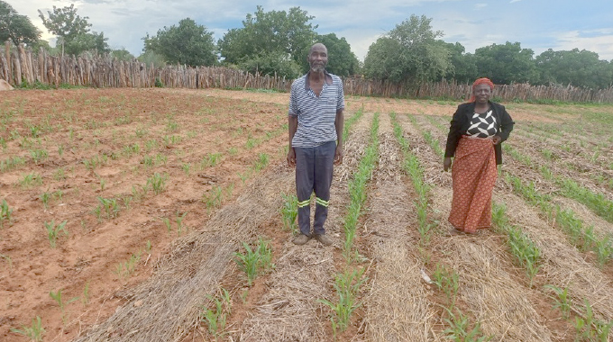
In agriculture, ZimSat-3 will support precision farming by monitoring crop health, soil moisture and vegetation patterns, helping farmers and policymakers improve productivity, manage drought risks and optimise inputs.
For land use planning and urban development, the satellite will enable authorities to map settlements, infrastructure and natural resources more accurately, improving spatial planning and service delivery.
In the mining sector, ZimSat-3’s remote sensing capabilities will support geological surveys by identifying surface features and anomalies associated with mineral deposits, reducing the cost and time of exploration.
Environmental agencies will use the satellite to monitor deforestation, land degradation, water bodies and wildlife habitats, while climate data generated from space will strengthen early warning systems for floods, droughts and other climate-related hazards.
“Additionally, ZimSat-3 will support enhanced connectivity and digital transformation efforts, complement national broadband expansion and contribute to improved access to digital services across rural and urban areas,” reads the document.
Technically, ZimSat-3 will operate as an earth observation satellite equipped with advanced sensors that capture reflected light and other data from the Earth’s surface. These sensors collect information across multiple spectral bands, which is then transmitted to ground stations for processing and analysis.
The resulting images and datasets will be converted into usable intelligence for various sectors, ranging from crop maps and land cover classifications to infrastructure layouts and environmental risk assessments.
The satellite’s remote sensing system works by repeatedly passing over the same areas of the Earth, allowing analysts to track changes over time. This makes it possible to detect gradual trends such as soil degradation or urban expansion, as well as sudden events like floods or veld fires.
ZimSat-3 builds on Zimbabwe’s growing space capabilities following the launch of ZimSat-2 last year.
ZimSat-2, an earth observation CubeSat, was launched from the Vostochny Cosmodrome in Russia and developed through a collaborative research programme between the Zimbabwe National Geo-Spatial and Space Agency (Zingsa) and South West State University in Kursk.
Zimbabwean engineers and students on the Presidential Scholarship programme were involved in the project from mission design to the flight model. Equipped with a multispectral camera with an eight-metre spatial resolution, ZimSat-2 supports crop monitoring, yield prediction, nutrient analysis, geological research and urban mapping.
Zimbabwe’s first satellite, ZimSat-1, was launched in November 2022 from Nasa’s Wallops Flight Facility in the United States as part of the BIRDS-5 constellation and later deployed from the International Space Station’s Japanese Kibo module.
With ZimSat-3, Zimbabwe is positioning itself among a growing number of African countries investing in space technology to drive development, reduce dependence on foreign data and build sovereign capabilities in earth observation and satellite communications.