Online Reporter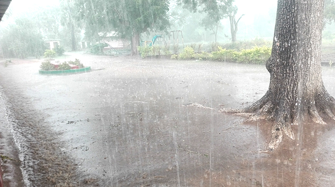
Ray Bande
Senior Reporter
The country is set to receive heavy rains in excess of 50mm within 24 hours starting on Tuesday this week with anticipated cases of thunderstorms and strong winds while elevating the risk of flash floods, hazardous road conditions with reduced visibility, landslides, and rock falls, particularly in areas already saturated with ongoing rains, the Meteorological Services Department (MSD) has warned.
In a notice, the MSD wrote: “The conditions will be driven by a system of low pressures to the north and south of the country. Warm moist air is expected to generate widespread thunderstorms, strong winds, and frequent lighting across Zimbabwe from Tuesday 20 to Saturday January 24, 2026, with areas likely to receive in excess of 50mm within 24 hours, significantly elevating the risk of flash floods, hazardous road conditions with reduced visibility, landslides, and rock falls, particularly in areas already saturated with ongoing rains. The public is therefore strongly advised to take precautionary measures as directed by the Civil Protection Unit (CPU).”
The CPU in Manicaland is on record on numerous times advising the public to avoid crossing flooded rivers to prevent loss of life as well as seek shelter in safe buildings to avoid lightning strikes.
Farmers have also been advised to protect crops by draining fields and planting resilient varieties, clear ditches and use cover crops to prevent soil erosion.