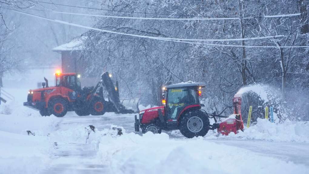
A dangerously frigid arctic air mass gripped a vast expanse of the United States on Thursday as a looming winter storm of historic proportions threatened to upend travel plans for millions of Americans.
Leading into the holiday weekend, the impending storm was expected to bring blizzard conditions to the Great Lakes region, heavy rains followed by a flash freeze on the East Coast, wind gusts of 60 miles per hour (100 kph) and bitter cold as far south as the Mexican border.
As the storm took shape over the Great Lakes on Thursday, a weather phenomenon known as a bomb cyclone was likely to develop from a “rapidly deepening low-pressure” system, the National Weather Service (NWS) said.
The cyclone could spawn snowfalls of a half inch (1.25 cm) per hour and howling winds from the Upper Midwest to the interior Northeast, producing near-zero visibility, the weather service said. – Reuters