Tapiwanashe Mangwiro, Zimpapers Business Hub
ZIMBABWE has officially launched Phase II of its Earth Observation for Agricultural Statistics project (Eosta II), in a move set to transform the country’s agricultural data landscape.
Spearheaded by the Food and Agriculture Organisation (FAO) in partnership with the Ministry of Lands, Agriculture, Fisheries, Water and Rural Development and backed by a US$5 million grant from the African Development Bank (AfDB), the initiative seeks to institutionalise satellite-driven crop mapping, drought and flood early warning and farmer registry integration.
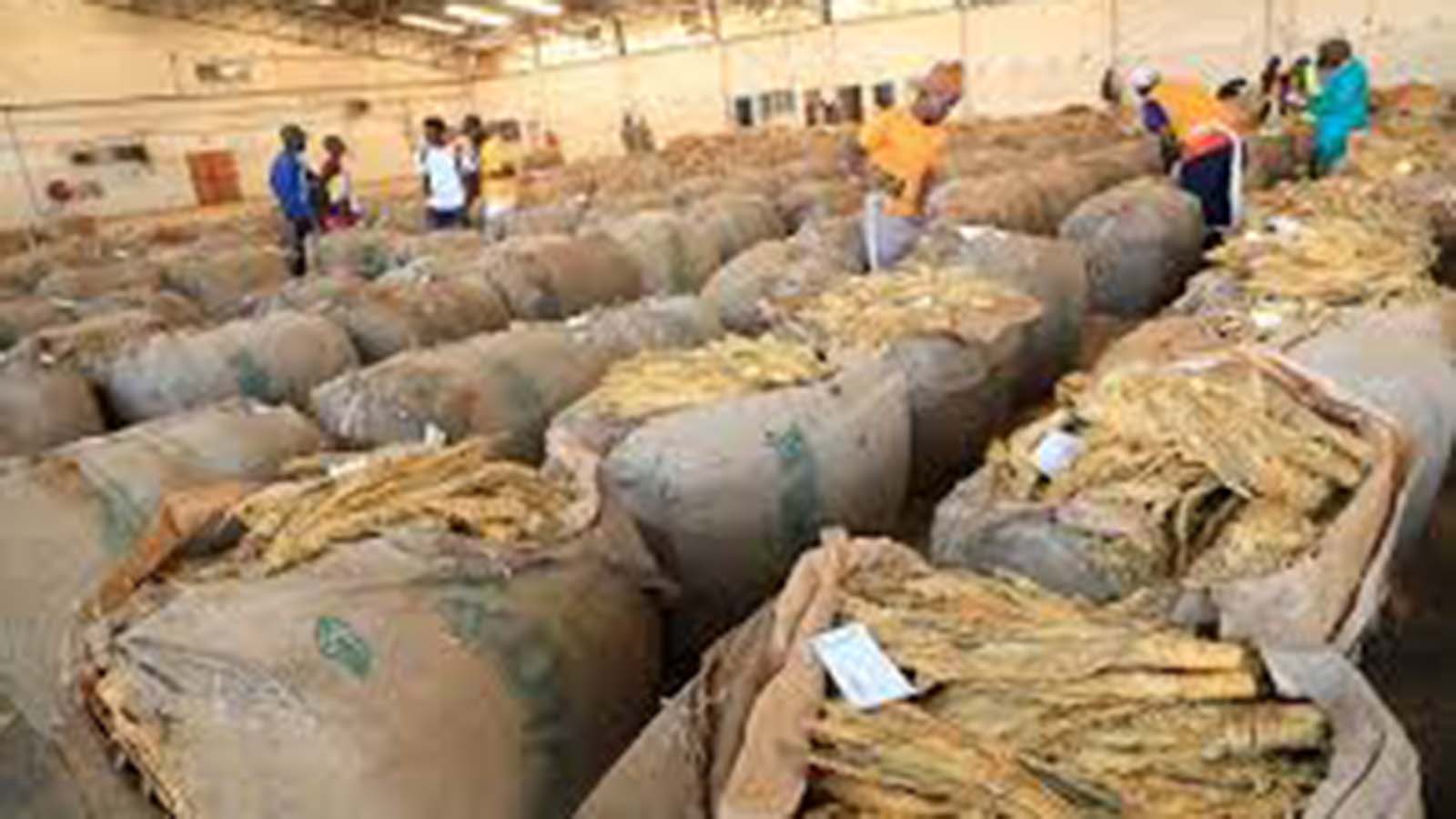
Phase I of Eostat, which concluded in late 2024, delivered Zimbabwe’s inaugural nationwide winter wheat map for the 2023 season and a comprehensive crop-type map covering 14 major summer crops in 2023/24.
The project digitised over 300 000 farm parcels, laying the groundwork for a prototype Farmer Registry System that links field boundaries with subsidy distribution, input supply chains and real-time survey data.
Concurrently, pilot drought and flood monitoring tools, powered by Earth Observation (EO) time-series analysis and anomaly-detection models, were rolled out across selected hotspots, offering field-level insights into crop stress and water-logging risks.
According to Patrice Talla, FAO Sub-regional Co-ordinator for Southern Africa: “Earth Observation technologies offer enormous potential. However, their impact depends on strong institutional frameworks and sustained collaboration aligned with national priorities.”
Phase II marks the shift from experimental pilots to routine operations. Under the new mandate, Zimbabwe’s national statistical agency (Zimstat) will adopt seasonal crop mapping as part of its official survey frame, while the Farmer Registry System, will be embedded across all 10 provinces, supporting district-level planning and resource allocation.
“Let us ensure that these technological advances translate into more informed policies, resilient farming systems and secure livelihoods for Zimbabwe’s communities,” Mr Talla added.
Lorenzo De Simone, Global Project Leader for FAO-Eostat, emphasised: “Through embedding Earth Observation (EO) technologies into Zimbabwe’s agricultural data ecosystem, we enable faster, smarter and more inclusive decisions that strengthen resilience and support sustainable agri-food systems.”

Dr Evidence Chitate, chief economist at the Zimbabwe Agricultural Indicators Unit, lauds Eostat II as a game-changer for macroeconomic planning.
“Reliable, high-resolution crop data reduces our dependence on costly field surveys and minimises margin of error in acreage estimates,” he explained.
“With more accurate forecasts, Government agencies can calibrate import-export policies ahead of harvests, dampen price volatility and safeguard national food security.”
Dr Chitate noted that the integration of timely EO-derived statistics could shave up to 30 percent off data-collection budgets, freeing funds for extension services and rural infrastructure.
“In an environment of constrained fiscal space, that efficiency gain is invaluable,” he asserted.
Professor Sandra Makuvatsine, a geographer at the National University of Science and Technology, underscores the spatial intelligence unlocked by Eostat II.
“Our landscapes are dynamic, crop rotations, fallow periods and watercourse shifts all influence yield potential,” she said.

“Satellite monitoring captures these changes at scale, offering granular insights into drought progression and flood inundation that no ground team can match.”
Prof Makuvatsine highlighted how the new high-resolution drought monitoring system, calibrated to local crop phenology, tracks moisture anomalies across seasons.
“This capability allows us to pre-empt food security shocks by identifying drought hotspots weeks in advance,” she added.
Phase II will extend coverage of the Farmer Registry System to all districts, digitise an additional 200 000 field boundaries through national “Mapathon” events, and integrate EO outputs into Zimbabwe’s emergency response frameworks.
Through aligning satellite-based insights with policy and subsidy mechanisms, the project aims to drive data-informed decision-making at every level from individual smallholder plots to national food security strategies.
As Eostat II moves from pilot to policy, Zimbabwe is poised to set a regional benchmark in agricultural statistics, marrying technological innovation with institutional capacity to build sustainable, resilient farming systems.